Together with the City of Calabasas, EPIC-FSC is here to demystify a term you’ve likely seen:
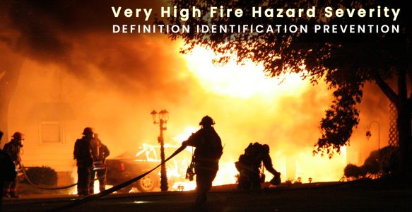
“Very High Fire Hazard Severity”
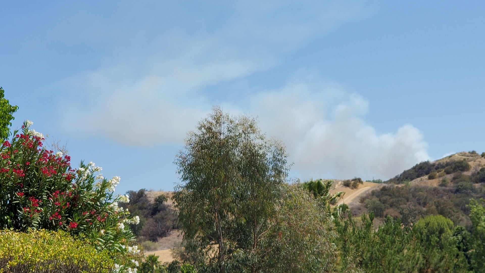
For many Calabasas households, the result can mean elevated insurance premiums, with some carriers restricting or declining coverage altogether. It turns out that the very thing we all moved here to enjoy – our beautiful open space – is also the biggest threat to us.
What “Very High Fire Hazard Severity” Means
This map measures hazard (how intense fire will be if it occurs), not your individual “risk,” which also depends on home hardening and defensible space.
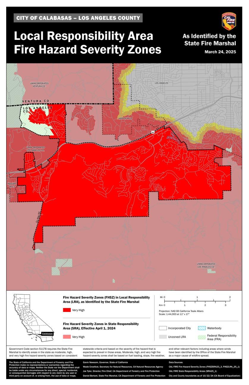
Why Is Calabasas A “Very High Fire Hazard Severity Zone”?
Short answer: Our terrain, vegetation, and wind patterns can produce fast-moving, high-intensity wildfires.
Calabasas has many Very High areas; the 2025 mapping update expanded Very High classifications across LA County in March 2025.
The State’s Fire Hazard Severity Zone (FHSZ) mapping designations classify land as Moderate, High, or Very High based on scientific modeling of flame lengths, ember exposure, fuels, terrain, weather, and fire history.
The Ingredients That Make Fire Spread Here
- Dense native fuels (what burns): The Santa Monica Mountains around Calabasas are dominated by chaparral, coastal sage scrub, and seasonal grasslands.
- Topography (how the land shapes fire): CAL FIRE’s hazard model considers slope and terrain. Steep canyons and slopes can funnel wind and embers into neighborhoods.
- Wind (how fast it moves): Santa Ana winds are the #1 driver of Southern California’s largest fires.
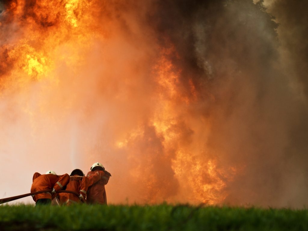
- Embers causing spot fires: In our mountains, wildfires during “fire weather” can ignite fences, mulch, eaves, and more.
Known Local Fire Paths & Patterns
Woolsey Fire (2018): Ignited near the Santa Susana Field Lab, crossed US-101 near Calabasas, then ran through Liberty Canyon into the Santa Monica Mountains—driven by Santa Ana winds. Burned 96,949 acres, destroyed 1,643 structures, and forced ~295,000 evacuations. It’s a textbook example of how winds push fire rapidly through our canyons.
Kenneth Fire (Jan 2025): A winter wind-driven fire that reached 1,052 acres before full containment—part of a season in which LA County saw multiple destructive fires under strong winds.
What You Can Do Right Now
- Check your address on the official map: See Calabasas’ FHSZ page for the newest map and guidance.
- Harden your home against embers: Trained EPIC-FSC volunteers will assess your property, focusing on Class-A roof, ember-resistant vents, 0–5 ft “Zone Zero” clear of combustibles, and enclosed eaves. Fill out this form on the EPIC-FSC website to schedule your personal assessment.
- Create defensible space: The Office of the State Fire Marshall says maintain 0–30 ft lean/clean/green; thin and limb up shrubs/trees 30–100 ft per local code and terrain. (Fuels + slope drive intensity.)
- Know your wind days: Track SAWTI (Santa Ana Wildfire Threat Index) and red-flag warnings; prepare to leave early on high/critical days.
- Plan your route & comms: Identify two evacuation routes; keep FRS Channel 16 radios handy if you received one via City/EPIC; sign up for alerts.
For more information, check out this video and follow us on Instagram.
Knowledge is power, and together, we are stronger—and safer.